STEMgis is a 4-dimensional Geographic Information System. The main advantage of this software is that it handles data that vary through time. Such data may include:
- spatial data such as the position of a river that changes over time or the position of a dynamic feature such as a boat or person.
- values describing a feature or measured at features, such as water quality measured at locations in a river, over time.
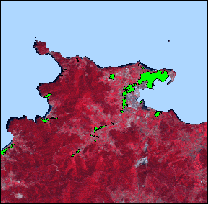
Figure above shows urban areas animated as four time slices from 1954 to 1999.
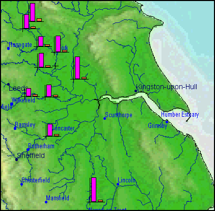
Figure above shows alkalinity and lead (dissolved) measured at river monitoring sites and animated as monthly averages over a two year period.