|
 STEMgis
is a Temporal Geographic Information System. It handles all common requirements
of mapping software PLUS the additional dimensions of
time and depth. STEMgis enables you to explore any spatial data
throughout the four dimensions (4D) of space and time. STEMgis
is a Temporal Geographic Information System. It handles all common requirements
of mapping software PLUS the additional dimensions of
time and depth. STEMgis enables you to explore any spatial data
throughout the four dimensions (4D) of space and time.
 The world is
dynamic. Everything around us is constantly undergoing change and the
impact we have on the world is subject to assessment and monitoring by
ourselves or others. STEMgis provides the tools to manage, visualize
and analyse these changes, historical features or our predictions for
the future. The world is
dynamic. Everything around us is constantly undergoing change and the
impact we have on the world is subject to assessment and monitoring by
ourselves or others. STEMgis provides the tools to manage, visualize
and analyse these changes, historical features or our predictions for
the future.
STEMgis, the temporal GIS, is ideal for many applications including
environmental, coastal, marine, health, crime, sales and marketing, agriculture,
forestry, utilities and management.
 Please look at
the software specification. We have also
made some animations and screenshots
available for your information. The animations illustrate some of the
time-based facilities of STEMgis. Please look at
the software specification. We have also
made some animations and screenshots
available for your information. The animations illustrate some of the
time-based facilities of STEMgis.
We are always happy to show you how your data could be used within STEMgis.
Feel free to send us your data and we will build a STEMgis FreeView database for you to explore before you decide to purchase.
 Version 2.3 is
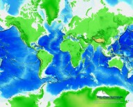
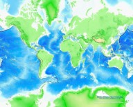
now available. The new version includes a new 3D terrain and animation display, dip and strike calculation for geological mapping, a link to SimCoast (a fuzzy logic expert system for decision making), complete SVG mapping for all 2D animated datasets and saving workspace files which include any processing carried out on individual layers (this means that STEMgis can now be used for batch processing!). Background desktop wallpaper images showing global topography and bathymetry have been created using STEMgis and are available by clicking on the links below. Version 2.3 is
now available. The new version includes a new 3D terrain and animation display, dip and strike calculation for geological mapping, a link to SimCoast (a fuzzy logic expert system for decision making), complete SVG mapping for all 2D animated datasets and saving workspace files which include any processing carried out on individual layers (this means that STEMgis can now be used for batch processing!). Background desktop wallpaper images showing global topography and bathymetry have been created using STEMgis and are available by clicking on the links below.
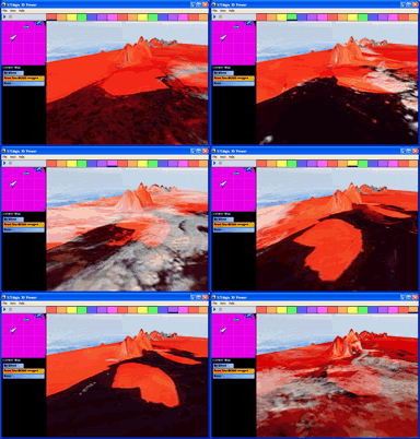
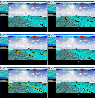
See an example of the new 3D animated display of icebergs in Ross Sea or modelled current data by clicking on the thumbnails shown below.
 The
affordable GIS. A commercial license for STEMgis is £150,
while an academic license is £100. All costs are quoted in pounds sterling. To purchase
a copy email
us. The
affordable GIS. A commercial license for STEMgis is £150,
while an academic license is £100. All costs are quoted in pounds sterling. To purchase
a copy email
us.
|


